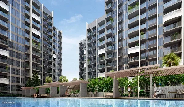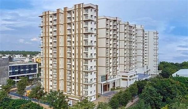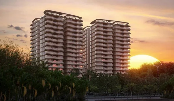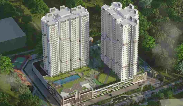

Prestige Park Ridge Direction And Distance

The Prestige Park Ridge direction points directly to Anekal along the Bannerghatta Road (SH 87) IT corridor, positioned near Kalena Agrahara and Jigani in Southern Bangalore (PIN 560083).
It lies in one of the city's fastest-growing industrial, tech, and residential belts. The site offers quick access to Electronic City IT Park, NICE Road, and the JP Nagar corridor. The project is located in a prime tech area, and you can easily find it on Google Maps. The coordinates of the township are:
- Latitude: 12.837753° N
- Longitude: 77.584326° E
This simple route helps you reach the city's best tech parks in minutes. Many property experts praise this location because it cuts down daily commute times. Prestige Group built this luxury township exactly where modern professionals want to live.
Prestige Park Ridge is a residential apartment project on Bannerghatta Road in South Bengaluru. The project was planned for launch in October 2026, with possession expected by mid-2031.
Prestige Group has many years of experience in real estate. The company has completed hundreds of projects and built luxury homes in different parts of India.
Many buyers worry about heavy traffic during office hours on Bannerghatta Road. But this project has direct access via wide arterial service roads to avoid major intersection jams. So, you can drive to major business centers and Electronic City in just 20 minutes.
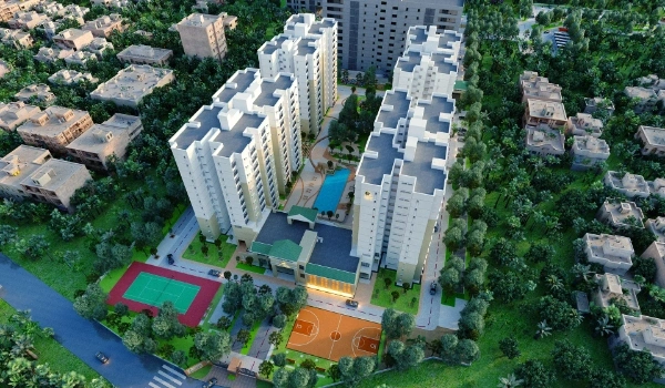
This makes daily travel much easier for your family. You get clear routes to schools, hospitals, and big tech parks. The property offers 1,119 luxury units across high-rise towers on 26.2 acres. It connects easily to the major IT hubs and expressways. This means you have multiple ways to travel across the city. This makes it a smart choice for your family.
Prestige Park Ridge Address and Location Details
The project address is Anekal, Bannerghatta Road, South Bangalore, Bengaluru Urban District, Karnataka 560083. This spot puts you right next to top global tech companies and corporate parks. The area offers great roads and safe streets. This means your daily commute to work is very easy. Prestige Group selected this address to offer a premium lifestyle. The neighborhood has many good schools and large hospitals nearby. So, your family gets everything they need close to home.
Prestige Park Ridge Connectivity
The Prestige Park Ridge connectivity relies on wide main roads. The site links quickly to Bannerghatta Main Road (SH 87) and NICE Ring Road. This means you can drive anywhere in Bangalore without much stress. You can walk to the local bus stops in just a few minutes. The upcoming metro station connects you to the primary city transit network.
So, you never have to worry about missing an important meeting. Fast roads also connect you to JP Nagar, Jayanagar, and Koramangala. Road networks around the project are constantly improving. The government is expanding highway lanes and peripheral ring corridors to reduce travel times.
Distance to Public Transport
Prestige Park Ridge is located 2 minutes from local BMTC bus stops. You also get fast access to local transit options and regional buses. This strong transport network helps you travel safely every day. The local bus stops are just 180 meters away. KSR Bengaluru City Junction (Majestic) is about 22.3 km from the main gate.
That's why you can always find a quick ride home. Transit options from this area connect to many parts of Bangalore. This means long trips are very simple to plan.
Airport Direction
The direction to Kempegowda International Airport is 58.2 km from the project. You can reach the airport in 70 minutes using NICE Road, Outer Ring Road, and Bellary Road (NH 44). The road is very wide and offers a smooth drive. This means you can enjoy a stress-free trip before your flight. You can easily book a cab right from your gate. Frequent flyers love this location because it saves so much time. You do not have to wake up hours early for a flight. So, business trips become much less tiring.
Metro Direction
The route to the upcoming Namma Metro Phase 2 Pink Line station at Kalesa Agrahara takes about 12 minutes. This station links you directly to the fast city network. You can travel to other parts of the city without facing traffic. Upcoming metro lines along Bannerghatta Road will also pass close to the property.
So, property prices here will likely go up soon. Metro trains run very frequently during the day, which means you never have to wait long on the platform. It is the best way to travel during heavy rain.
Bus Direction
The route to the local bus stops covers just 180 meters. You can walk there safely in a few minutes. These buses run all day to different parts of Bangalore. The main road has safe crosswalks for you. This means public transport is safe for your family. Bus travel is very cheap and reliable here. You can use it for quick trips to the local market. That's why many residents prefer buses for short errands.
Road Direction
The road directions from the project connect you to Electronic City, JP Nagar, and Jigani. You only need to drive 5.2 km to reach Kalena Agrahara Junction. You can reach the Electronic City IT Hub in just 22 minutes because it is 10.2 km away. Kalyani Magnum Tech Park is 4.2 km away from the property. That's why you are always close to major city hubs. The roads are well-lit at night for safe driving. You will find many petrol pumps and service stations nearby. But the best part is the wide streets that make driving pleasant.
Top IT Hubs Near the Address
Kalyani Magnum Tech Park sits within 4.2 km of the project gate. This close proximity means you can cut your daily commute by several hours each week. Shrum Tech Park, IBC Knowledge Park, Infosys, and Electronic City operate within a short driving distance from the site. Tech professionals choose this address because they want to live close to their workplaces. So, you spend less time in Bangalore traffic and more time with your family.
Best Schools Near the Project
Podar International School is located within 5.2 km of the project. This makes daily morning drop-offs fast and stress-free for parents. EuroSchool, Mount St. Joseph, and Indian Institute of Management Bangalore (IIMB) sit nearby along the stretch. With multiple top-tier educational institutions close by, this location is a highly practical choice for growing families.
Hospitals Near Prestige Park Ridge
The top hospitals in the region are:
- Apollo Hospital (Bannerghatta Road): 1.2 km
- Sri Jayadeva Institute of Cardiovascular Sciences: 3.2 km
- Fortis Hospital: 3.8 km
- Aster RV Hospital: 7.8 km
- Rainbow Children's Hospital: 8.2 km
Key Distances to Major Areas
The project connects perfectly to all important parts of South Bangalore. Travel time remains reasonable because of direct highway and expressway access.
Distance to Key Localities
| Destination | Distance / Time |
|---|---|
| Sampangiram Nagara Bus Stop | 180 m / About 2 min |
| AMC College Bus Stop | 450 m / About 5 min |
| Apollo Hospital | 1.2 km / About 4 min |
| Kalyani Magnum Tech Park | 4.2 km / About 10 min |
| Kalena Agrahara Metro Station | 5.2 km / About 12 min |
| Royal Meenakshi Mall | 5.2 km / About 12 min |
| Electronic City IT Hub | 10.2 km / About 22 min |
| Lalbagh Botanical Garden | 15.0 km / About 35 min |
| KSR Bengaluru City Railway Station | 22.3 km / About 50 min |
| Kempegowda International Airport | 58.2 km / About 70 min |
Frequently Asked Questions
It is located at Anekal, Bannerghatta Main Road, South Bangalore, Bengaluru Urban District, Karnataka 560083.
The upcoming Kalena Agrahara Metro Station on the Namma Metro Pink Line is the closest major metro station within 5.2 km.
KSR Bengaluru City Junction (Majestic Railway Station) is 22.3 km away from the main gate.
Kempegowda International Airport is 58.2 km away from the project site via NICE Road and NH 44.
Kalyani Magnum Tech Park is 4.2 km away, IBC Knowledge Park is 5.5 km away, Infosys Campus is 6.5 km away, and Electronic City IT Hub is 10.2 km away.